Nepal's Flash Flood Warning System: How It Works and Fails
Nepal uses radar gauges and mass SMS alerts to track flood crests. But when high-altitude slopes collapse, technology faces hard physical limits.
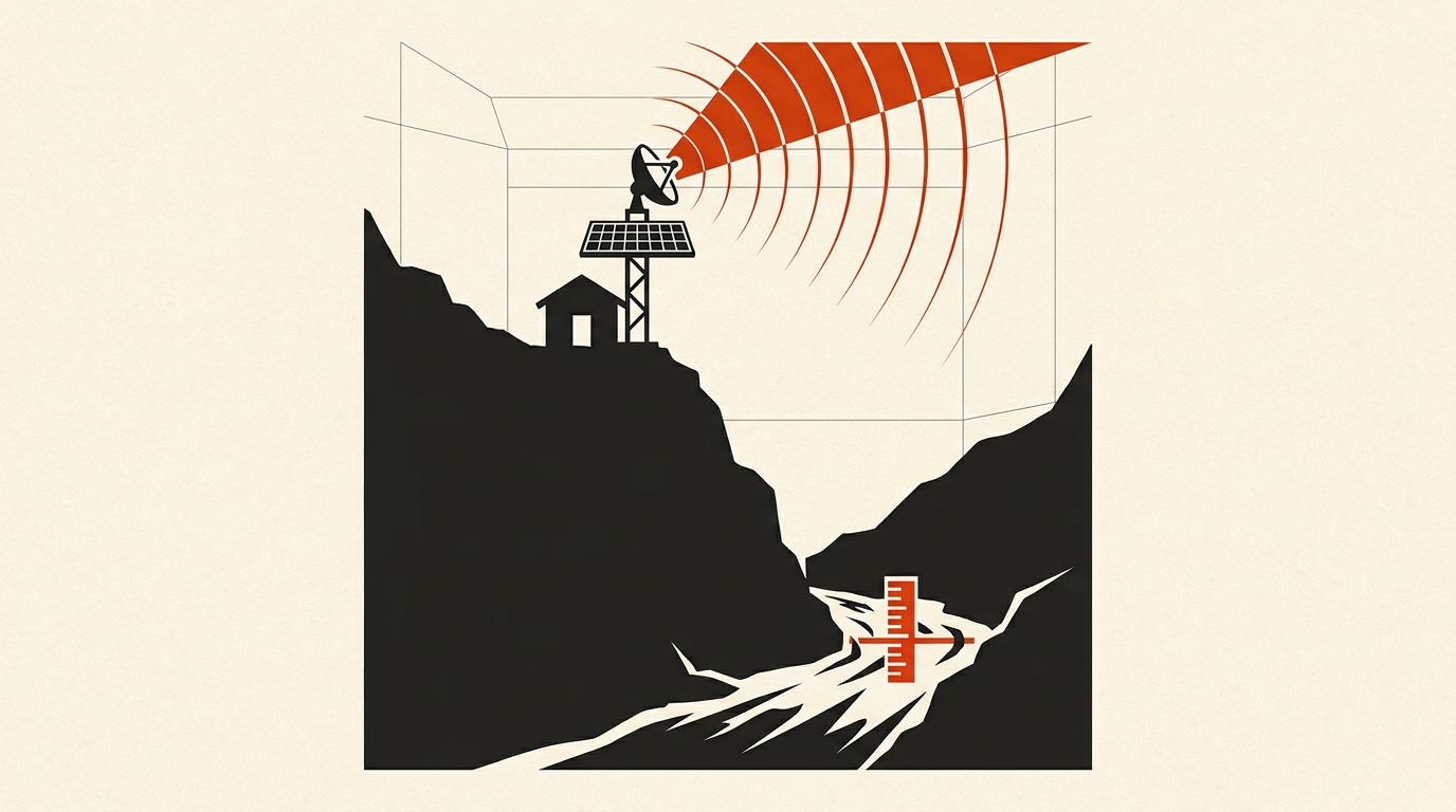
Early warning systems give downstream communities time to flee. But when landslide dams or glacial lakes burst, warning lead times collapse to zero.
Short answer: Nepal replaced manual river spotters with radar gauges, satellite telemetry, and automated mass SMS alerts. The system works effectively for seasonal monsoon river crests across southern flatlands. However at high altitude avalanches it didn’t work.
1. How Nepal evolved from watch towers to telemetry
For decades Nepal’s caution worked because of local watchmen who could inform higher ups or by blowing horns which was informal in manner was replaced by FEWS.
Formalization of modern Flood Early Warning Systems (FEWS) began during the late 1990s to monitor hazardous glacial lakes. By 2002, the government expanded formal monitoring to cover riverine and alert basins across the country. Over the past two decades, Nepal transitioned from reactive response to proactive telemetry.
Today, operational forecasting is managed by the Department of Hydrology and Meteorology (DHM) alongside the National Disaster Risk Reduction and Management Authority (NDRRMA). Specialized scientific backing comes from the Centre of Hydrology and Water Resources Research (CHWRR), an agency under the Water and Energy Commission Secretariat (WECS) in Kathmandu.
2. The technical architecture of modern flood monitoring
Modern early warning relies on a layered technological pipeline designed to turn physical water measurements into ALERTS.
Solar-powered hydrological stations feature non-contact radar or ultrasonic sensors mounted on bridges on steel rods. These sensors measure water levels every few minutes without touching turbulent currents. Here meteorological stations record rain intensity with gauge.
The transmission of data takes place using telemetry directly. Data stations package data and send it either via cellular modems such as GSM and CDMA or by satellite to the central DHM servers located in Kathmandu. The regional data is sent using the HKH Hydrological Cycle Observation System (HKH-HYCOS), which was designed in collaboration with ICIMOD and WMO. This network incorporates various regional systems such as the South Asia Flash Flood Guidance (SAsia-FFG) system to predict flash floods before runoffs accumulate in rivers.
Once the level of the river waters surpasses warning level or danger, DHM initiates an automatic SMS alert system through the country’s telecommunication companies. People in specified districts downstream of rivers get warning texts of rising water levels in the rivers.
3. Why mountain debris torrents outrun the digital pipeline
Though there are technological advances, rapid Himalayan flash floods bring to light a number of technical challenges. The technology which operates efficiently over large river basins faces difficulties in coping with the physics of steep mountains.
One of the toughest problems is to notify exact time of the event. On flat lands, it will take 12-24 hours for a flood wave to reach the area from upstream. In this case, the algorithm has enough time to confirm the results obtained by sensors and send a warning to the public. In the case of Himalayan gorges, where landslide dam failure or a glacier outburst occurs, the flood wave moves downstream with a velocity of more than 10 meters per second.
Once a natural dam fails or an ice avalanche falls into the gorge, local population living within five kilometers has less than 15 minutes to evacuate.
Conventional sensors cannot readily spot an upstream dam formation. When a landslide dams up a mountain river, it actually results in a reduction in water levels downstream instead of an increase. If there is no satellite radar or human observer at the scene of this phenomenon, the computer simulations could mistakenly interpret it as a decline in flooding danger and not an impending dam collapse. For more about this particular landslide-dam phenomenon, you may wish to read our separate report about Nepal landslide dams and transboundary threats to India, along with our take on the limitations of conventional sensors in our Fast Radio Burst data check.
Sources to check yourself
- Government of Nepal BIPAD Portal: Real-time disaster incidents and hydrological sensor tracking.
- ICIMOD HKH-HYCOS Framework: Technical reports on transboundary flood data telemetry in South Asia.
- World Meteorological Organization (WMO): Flash Flood Guidance System global specifications and methodology.
Frequently asked questions
Q: How do automated river gauges measure water levels without getting damaged? A: Modern stations use downward-pointing radar or ultrasonic pulses mounted high above the water on bridges or steel towers, avoiding destructive debris.
Q: Why do mobile alerts sometimes arrive late during flash floods? A: Extreme storms can damage transmission towers, and high-altitude mountain surges travel so quickly down steep gorges that the flood wave arrives before text processes.
Reader discussion
Conversation for this story opens with memberships. Until then: found an error? Report it — we correct visibly.