NavIC Is Back to Four Satellites. It Does Not Replace GPS
NVS-03 reached geostationary orbit on November 4, restoring standalone positioning. NavIC augments GPS across India and 1,500 km beyond, it does not replace it.
Verdict: misleading.
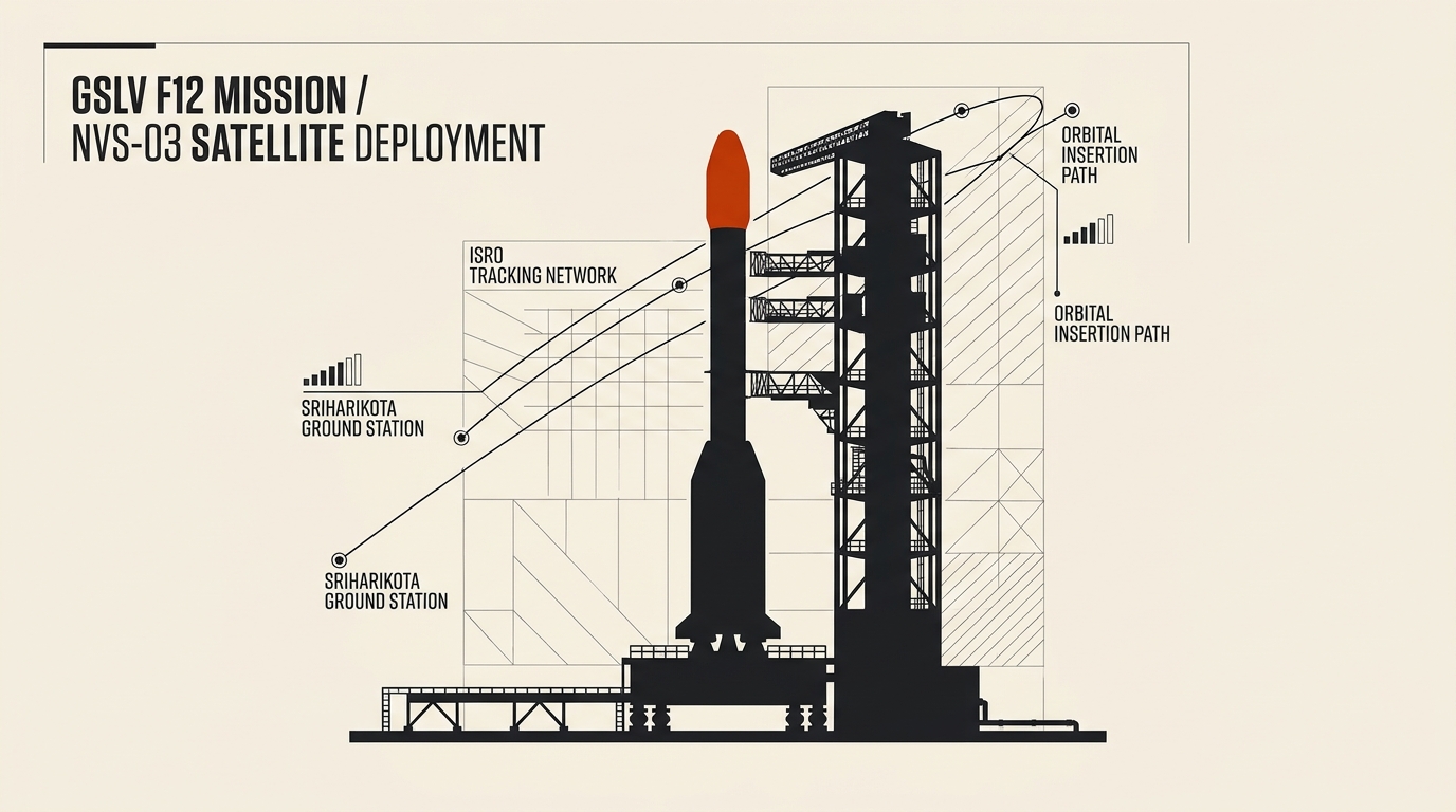
The launch restores a sovereign timing and positioning signal for Indian users, but four of seven planned satellites is a minimum configuration, not a replacement for GPS.
Short answer: The claim was half right and it was late. India’s NavIC system did not replace GPS, and for most of 2026 it could not fix a position by itself at all. The government’s own record shows the constellation running on three satellites from March 2026, which is below the four needed for a position fix. Then, on the night of October 30, ISRO’s GSLV-F18 placed the NVS-03 satellite into orbit, and on November 4 ISRO confirmed it had reached geostationary orbit with its health normal. NavIC can once more supply a standalone position over India and the 1,500 km around it. It is still an addition to GPS, not a substitute for it, and it is still a constellation of four working satellites where seven are planned.
Correction (2026-11-15): This article was published on the morning of October 30, 2026, hours before the launch it described as imminent. It now records what happened: GSLV-F18 placed NVS-03 into orbit that night, the satellite reached geostationary orbit on November 4, and ISRO reported its health normal. The earlier version cited homepage pages of the Lok Sabha, ISRO, the CAG and the Press Information Bureau instead of the specific documents, and it gave the satellite a mass of 2,200 kg where ISRO’s chairman said 2,250 kg. The unsourced history of earlier NavIC failures has been removed.
1. The claim: NavIC has replaced GPS on Indian phones
Social posts around the launch celebrated NavIC as the system that ended India’s dependence on American GPS. That framing does not survive the record.
NavIC is a regional system. It was planned as seven satellites covering the Indian subcontinent and 1,500 km around it, and the Indian Express describes it as a regional navigation system in the same class as the US Global Positioning System, not a global one. A phone in Delhi can see it. A phone in another continent cannot.
NavIC has also never operated alone in a phone. The government’s reply to Parliament, reported by the Indian Express, states that the armed forces use NavIC signals as part of a multi-constellation system drawing on GPS, Galileo and Glonass. Receivers in aviation, shipping, railways and everyday cell phones all carry a GNSS receiver that blends constellations.
The viral claim also implied a capability that was switched off for months. Until October 30, NavIC could time your phone but could not position it on its own.
2. What happened on the night of October 30
The GSLV-F18 lifted off at 23:51 from the Second Launch Pad at the Satish Dhawan Space Centre in Sriharikota, ISRO records show. The Hindu reports that the vehicle placed NVS-03 into the intended geosynchronous transfer orbit 18 minutes later.
ISRO describes GSLV-F18 as the 20th flight of the Geosynchronous Satellite Launch Vehicle. The press release issued by the Press Information Bureau records the first orbit manoeuvre on October 31 at 16:48 hours, with further manoeuvres planned to place the satellite in its designated slot at 111.75 degrees East.
ISRO chairman Dr V. Narayanan described it as the shortest turnaround between successive GSLV missions, 56 days, after GSLV-17 carried the EOS-05 satellite on September 4. The Hindu notes this was only the third ISRO mission of 2026, after PSLV-C62 on January 12, which it reports was a failure. Narayanan also said roughly 80% of the launch vehicle budget was channelled into industry.
3. Why three satellites could not give you a position
This is the part the viral posts skipped, and it is the reason the launch mattered.
The Indian Express reported on July 31, 2026 that IRNSS-1F, launched in March 2016, had completed its designed ten-year mission life and its on-board atomic clock had stopped working. With that satellite gone, the government told the Lok Sabha on July 29 that the constellation had three satellites providing positioning, navigation and timing services: IRNSS-1B, IRNSS-1I and NVS-01.
The same answer set out the arithmetic that decides the question. To provide basic positioning service, a minimum of four operational satellites are required in orbit. The NavIC constellation could not provide standalone positioning service. Timing service was functional.
The reason four is the number is about clocks, not maps. A receiver works out its position by measuring how long four signals took to arrive, which means solving for where it is and how wrong its own clock is at the same time. Three satellites fix the geometry but leave the clock error unresolved. The fourth measurement is what removes it. With three, a receiver can be told the time and told it is near a particular place, but it cannot be told exactly where it is.
That is also why the government framed it as a capability gap rather than a disaster. The reply said that since NavIC is used in a multi-constellation environment for most use cases, there is no vulnerability for users. The Indian Express reported that the system continued to supply accurate time signals for digital devices and to broadcast emergency messages.
4. What changed on November 4
The launch was the easy half. Reaching a usable orbit was the part that went wrong last time.
NVS-02, launched in January 2025, reached space but could not raise its orbit, so it was never usable for navigation. The Indian Express notes that the October mission was at the exact stage where NVS-02 failed. On November 4, ISRO reported that four orbit manoeuvres had been completed with a cumulative Liquid Apogee Motor burn of 6,164 seconds. The satellite had reached a geostationary orbit of 35,765 km by 36,196 km at an inclination of 29.98 degrees, and its health was normal.
Narayanan’s account after launch is the cleanest summary of what the mission achieved. Three satellites were already working, he said, and with this one there would be four, restoring the PNT services of the country. The New Indian Express reported the count directly, putting the number of active NavIC satellites at four. The Indian Express reported that the launch restored critical positioning and timing services and returned the constellation to the minimum configuration needed for location data.
5. What NVS-03 carries
ISRO’s mission page and the PIB factsheet set out the payload.
NVS-03 is the third satellite in the second-generation NavIC series, which runs from NVS-01 to NVS-05, and the third next-generation navigation satellite built to give continuity to the IRNSS series. The Hindu gives the mass as 2,250 kg and the mission life as 12 years.
It carries an indigenously developed atomic clock alongside procured atomic clocks, which the New Indian Express identifies as a rubidium unit. It broadcasts on the L1, L5 and S frequency bands. L1 is the civil band, and the New Indian Express points out that carrying it makes the signals compatible with consumer devices such as smartphones rather than requiring specialist receivers.
Coverage is the Indian landmass plus a region extending 1,500 km beyond the geopolitical boundary. The PIB also notes that NVS-04 and NVS-05 are still to come, which is how the government described them in its July reply: in an advanced stage of realisation.
6. What “restored” does not mean
Three limits are worth stating plainly.
First, four satellites is a minimum configuration. The Indian Express reports that with all seven satellites functional the system was designed to deliver location accuracy of up to 10 metres, along with a more accurate restricted service for paying users. At four, the design target for the full system has not been reached, and two replacement satellites are still pending.
Second, regional is not global. This constellation serves India and the surrounding 1,500 km. A phone outside that footprint has never had a NavIC-only option, and nothing about the October launch changes that.
Third, the record on what users should expect is the government’s own. The July answer said NavIC is used in a multi-constellation environment for most use cases and that there is no vulnerability for users. The ISRO chairman’s framing after the launch was that the constellation is restored to the minimum operational configuration. Both statements describe an augmentation of GPS, not a replacement.
7. The verdict: misleading, with the context that the launch worked
The claim fails on two of its three parts. NavIC does not replace GPS, because it has never operated alone in a phone and the armed forces use it alongside other constellations. And it does not guide users anywhere, because it is a regional system covering India and the area around it.
The third part was false until October 30 and is true now, over the coverage area. That is a real improvement: Indian users regained a sovereign position fix that had been switched off since March, and the satellite is healthy in orbit.
So the claim inverted the actual story. The launch was a restoration of a minimum service that had lapsed, not the arrival of a replacement for American GPS. The same reading applies to satellite broadband reaching Indian households and to the commercial fights over orbital spectrum: a national capability is not the same as a national substitute.
Sources to check yourself
- ISRO, GSLV-F18/NVS-03 mission page: the 20th GSLV flight, the indigenous atomic clock, the L1 signal and the coverage footprint.
- ISRO, November 4: the four manoeuvres, the 6,164 second LAM burn and the final geostationary orbit.
- PIB factsheet on the NVS-03 mission: the launch time, the first orbit manoeuvre, the 111.75 degree East slot and the L1, L5 and S payloads.
- PIB, Lok Sabha reply of July 29, 2026: the three-satellite status, the four-satellite minimum and the NVS-04 and NVS-05 update.
- The Hindu: the 2,250 kg mass, the 12-year mission life and the IRNSS-1F clock failure.
- The Indian Express: the 56-day turnaround, the intended orbit, the 10 metre design accuracy and the multi-constellation use.
- The New Indian Express: four active satellites, the rubidium clock and the civil L1 band.
- The Indian Express, July 31, 2026: IRNSS-1F, the loss of positioning data in March and the parliamentary reply.
Frequently asked questions
Q: Can I use NavIC on my smartphone right now? A: Yes, and since October 30 it can stand alone over its coverage area. Phones still combine NavIC with GPS, Galileo and Glonass signals, which is how the armed forces use it and how consumer receivers work.
Q: Why does satellite navigation need four satellites instead of three? A: Because a receiver has to solve for its own position and its own clock error at the same time. Three satellites fix the geometry and leave the clock error in. The fourth measurement removes it, and without it the system can deliver time but not a position.
Q: Has NavIC replaced GPS? A: No, and it was never designed to. It is a seven-satellite regional system intended for India and the 1,500 km around it. The government’s own reply to Parliament describes its use in a multi-constellation environment with no vulnerability for users.
Q: Is the constellation fully restored? A: Not fully. Four satellites are working, which is the minimum for positioning. The system was designed with seven, and NVS-04 and NVS-05 remain to be built and launched.
Reader discussion
Conversation for this story opens with memberships. Until then: found an error? Report it — we correct visibly.